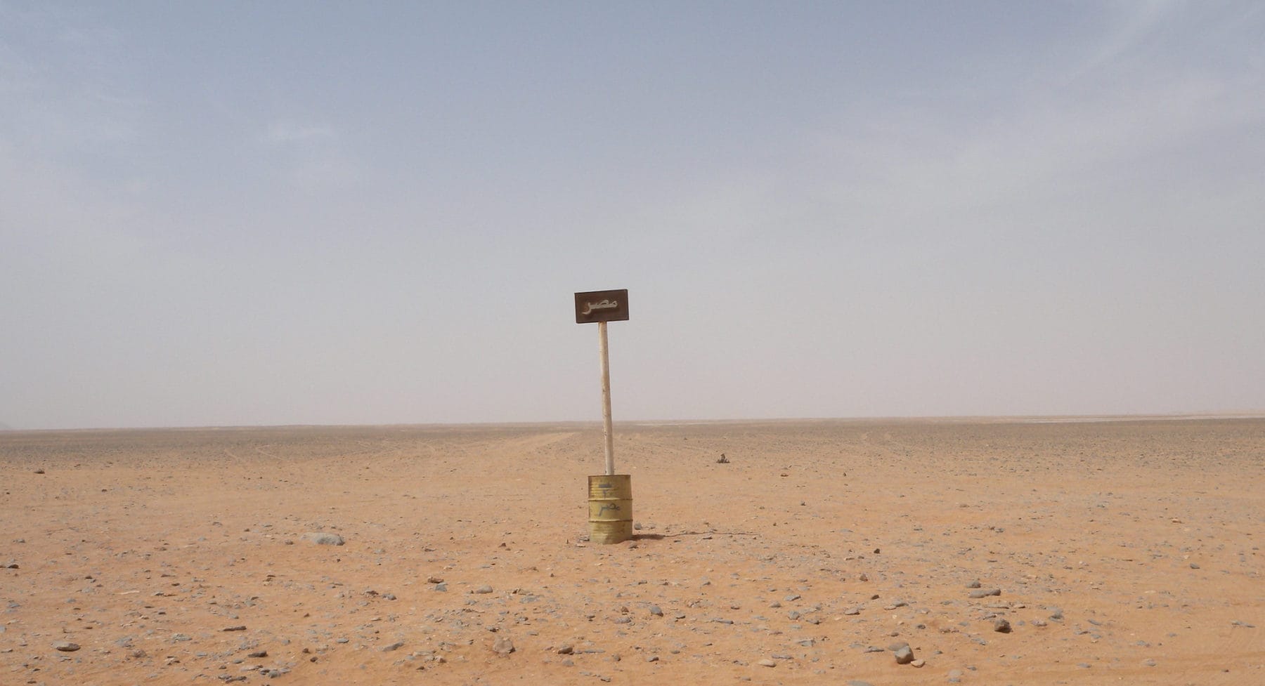
Nation-Making on the “Razor’s Edge” in the Egyptian-Libyan Borderland

In 1908, the British lord and arch-imperialist George Curzon published a short treatise on the unique role of frontiers in modern history. “Frontiers,” he wrote, “are indeed the razor’s edge on which hang suspended the modern issues of war or peace, of life or death of nations.”[1]
Curzon had recently returned from six years of service as Viceroy of India. In his view, well-defined borders had become the very “condition of existence” for the modern state in the nineteenth century. In his role as British Foreign Secretary between 1919–1924, Curzon would go on to play an active part in bringing a new world of bordered nation-states into fruition. With the piecemeal dissolution of the Ottoman Empire after World War I, the Middle East emerged as his primary canvas. Curzon spearheaded negotiations for the Treaty of Lausanne in 1923, which established the borders of the Republic of Turkey as well as those of Iraq and Syria—with Iraq under British colonial stewardship and Syria under the French. He also oversaw the creation of the kingdom of Jordan out of the British Mandate for Palestine.
Curzon’s career—and the heavy hand of the colonial powers in drawing the borders of the post-Ottoman Middle East—reflect themes that have grown entrenched in Western discourse on Middle Eastern geopolitics. The notion that the so-called “unnatural,” colonial provenance of Middle Eastern borders has rendered them especially artificial or fragile has long been used to explain moments of political turmoil. It surfaced as a popular journalistic trope during the US-led invasion of Iraq and again during the fallout of the 2011 uprisings. A second related theme is that the Middle East is particularly resistant to borders and thus somehow unfit for modern nation-statehood—at least without outside supervision. Curzon went so far as to attribute this attitude to the “dislike of precise arrangements that is typical of the oriental mind.”[2]
Yet, for all their obsession with drawing new international borders, what colonial statesmen like Curzon failed to understand—and what many contemporary observers still miss—is that borderlands are never finished products. They are not set in stone, even once a borderline is officially demarcated and recognized in international law. In this regard, national maps are deceptive. While they ostensibly depict a fixed and stable territorial enclosure, they obscure how national communities are forged on the ground—especially in borderlands, which state powers myopically view from their vantage point at the center as merely peripheral. Social identities in borderlands are continually negotiated, contested and refashioned as they come into contact with different, often competing manifestations of state power.
Modern Middle Eastern and North African history is rife with examples of how centralizing states have attempted to transform social and political dynamics in borderland spaces, converting entire local or regional geographies into national peripheries. Recently, however, scholars have been attending to borderlands as generative spaces, which shape state-building projects as much as they are shaped by them. As historians Michel Baud and Willem van Schendel have argued, borderland histories are unique in illuminating “ways of conceptualizing social space and local identity, and the roles these have played in promoting or thwarting the development of modern states.”[3] Adopting the view from borderlands, understood as centers in their own right, is a necessary corrective to more conventional top-down, state-centric narratives of territorial expansion, conquest and enclosure.
Many in the Egyptian government and academy alike remain deeply invested in upholding a narrative of Egypt’s timeless geographic unity and territorial integrity across the country’s expansive domains. Yet, Egypt’s history actually illustrates the active role of peripheries in territorial nation-state formation. The country’s western borderland consistently mediated centralizing state power in the late-nineteenth and early-twentieth century, when Libya was under direct Ottoman rule and Egypt was still nominally Ottoman territory.
Read Samuel Dolbee on "The Jazira’s Long Shadow over Turkey and Syria," for MER issue 305.
Though sparsely inhabited, the borderland between Egypt and Libya in the decades before World War I was home to a rich tapestry of local denizens, ranging from nomadic pastoralist tribes, to itinerant merchants operating along the Mediterranean coast, to agricultural communities settled for centuries in the various oases dotting the desert interior. To these populations, the desert borderland was not marginal, as it would have appeared from the seats of state authority in Cairo or Istanbul, but rather the locus of their spatial identity. This geographic sensibility is visible in the names of two of Egypt’s Western Desert oases: Dakhla, meaning “inside” or “inner,” and Kharga, which means “outside” or “outer.” Dakhla is located west of Kharga, farther from the Nile Valley and thus deeper inside the Sahara. For the people of the oases, the desert, not the Nile Valley, was the vantage point from which they defined the center.
Beginning in the mid-nineteenth century, the borderland became the homebase of the Sanusiyya—a Sufi brotherhood that grew rapidly in the ensuing decades, galvanizing a striking proportion of the region’s population. By the turn of the twentieth century, the Sanusiyya functioned as a pseudo territorial state of its own, and its headquarters in the oasis of Jaghbub emerged as an alternate sovereign center. The basic building block of Sanusi authority was the zawiya (plural: zawaya), an institution often translated as “lodge” but which, in the Sanusi system, could also serve as a court of law, guesthouse, caravanserai, storehouse and information hub. The establishment of an expansive network of Sanusi zawaya helped the brotherhood exercise sovereignty along multiple axes throughout the desert borderland: On the north/south axis, the Sanusis had effective control over the lucrative caravan route linking the easternmost Libyan province, Cyrenaica, to the kingdom of Wadai in modern-day Chad.[4]
To these populations, the desert borderland was not marginal, as it would have appeared from the seats of state authority in Cairo or Istanbul, but rather the locus of their spatial identity.
The Sanusiyya also exercised considerable authority to the east of Jaghbub, throughout Egypt’s expansive western domains, and were especially powerful in the oasis of Siwa. Their encounter with the centripetal pull of both the Egyptian and Ottoman states in the two decades before World War I only strengthened their territorial authority in the borderland. When the Egyptian state attempted to reconquer Siwa in the last years of the nineteenth century, it had to enlist the help of local Sanusi notables, who harnessed the intensified Egyptian presence in the oasis to take more power and formalize their own customary authority.
The Sanusi shadow state notwithstanding, this stretch of the Eastern Sahara was not easy to define politically. For most of its history there had been no clear border marking off Egyptian and Libyan territorial domains. During the expansion of the Ottoman Empire throughout the Middle East and North Africa in the sixteenth century, Ottoman authorities refrained from delineating any formal boundaries within the empire. As a result, the frontier between Egypt and Cyrenaica represented a transitional zone between two provinces lying within the wider sphere of Ottoman imperial sovereignty. In 1841, following the Egyptian governor Muhammad Ali’s expansionist gambit, Egypt became an autonomous province, but the Ottoman government still refused to acknowledge the legitimacy of any formal border for Egypt. The Ottomans chose instead to refer to Egypt’s western border as a “line of distinction” or “line of separation,” marking off the domain of Egypt’s status as a “privileged province” (eyalet-i mümtaze)—and thus not an official boundary line.
The political indeterminacy of the region continued after the British occupation of Egypt in 1882. Britain and the Ottoman Empire (technically sovereign over Egypt until 1914) conspired not to define the border, lest it provoke unnecessary legal or diplomatic controversy—a stance that became particularly thorny during the first decade of the twentieth century, when the Italian government, seeking to lay the groundwork for its impending colonial occupation of Libya, repeatedly pressured the British to draw a western border for Egypt. The Italians’ protests fell on deaf ears. The British, in defiance of the rationalizing geopolitical spirit of the age, agreed with the Ottomans that it was better policy to leave the border ambiguous. A bona fide border between Egypt and Italian-controlled Libya would not be defined until 1925. Even then, it would do little to disrupt the fluid social identity of the region’s inhabitants.
Throughout the second half of the nineteenth century, the Egypt-Cyrenaica borderland gradually emerged as a nebulous zone of overlapping Egyptian and Ottoman sovereignty, where the parallel centralization projects of the Egyptian state and its imperial suzerain came into uneasy contact. The continuous mobility of the region’s Bedouin tribes posed a challenge to the centralization efforts of both states. As tribes repeatedly crossed the invisible border, typically to evade tax collection or punitive justice at the hands of local Ottoman officials, both governments felt compelled to re-examine the scope of their territorial definition in the region.
Bedouin mobility was the key catalyst forcing the Ottoman government to confront the limits of its own sovereign jurisdiction vis-à-vis Egypt, which gradually came to represent an entirely different legal-political climate to that of the local inhabitants of the region. This burgeoning mindset of territorial rivalry with Egypt prompted the Ottoman government to establish a new military and administrative outpost in the border town of Sollum in 1902. Their intention was to make overtures to the local tribal population, while trying to keep them from falling into Egypt’s orbit.
Bedouin mobility was the key catalyst forcing the Ottoman government to confront the limits of its own sovereign jurisdiction vis-à-vis Egypt, which gradually came to represent an entirely different legal-political climate to that of the local inhabitants of the region.
Over the next decade, the Ottomans’ more assertive regional strategy would be severely tested. In response to a series of violent conflicts that erupted between the Shihabat, ‘Awaqir and Awlad ‘Ali tribes on both sides of the putative border, the Ottoman and Egyptian governments began to negotiate over affairs in the borderland. For the first time, negotiations took place with a view toward protecting their own tribesmen, to whom they had previously given little consideration as potential national subjects. In this period of prolonged border crisis, even Lord Cromer, the British consul-general of Egypt since 1882, began to refer to such groups as “Turkish Bedouin” and “Egyptian [our] Bedouin.”[5]
The Egyptian and Ottoman officials were following the lead of the Bedouins themselves, who strategically invoked a sense of political belonging to Egypt or Libya to serve their own local interests. In 1905, for example, two separate groups of Awlad ‘Ali petitioned the Egyptian Coast Guard for protection by claiming that they were “Bedouins…belonging to the Egyptian government.”[6] Such strategic maneuvers were also found in late-Ottoman Jazira, where pastoralist nomads knew the precise contours of local administrative borders and regularly made savvy use of that knowledge.
Borderland affairs would continue to exert a strong pull on the Ottoman and Egyptian centers for years to come. In 1909, when the Ottoman government attempted to resolve the longstanding feud between the ‘Awaqir and Shihabat by convening a Bedouin summit, it was clear that there was much more at stake than backwater tribal politics. For the local official in charge of the hapless Ottoman delegation, the summit was “a matter of life or death” for the Empire. Unlike their Egyptian counterparts, who arrived in an impressive steamship and appeared to be “governed according to the British rules of punctuality,” the Ottomans failed to compel “their” Bedouin, the ‘Awaqir, to attend. This failure, the official feared, was a fatal blow to Ottoman prestige and a surefire sign that Egypt was now flexing its muscles as a nascent independent nation-state, in defiance of Ottoman suzerainty.[7]
If Egypt and Libya finally started to come into sharper territorial focus by World War I, it was not due to the imposition of central power onto the periphery but to the ways that local actors shrewdly harnessed political contestation between the Egyptian, Ottoman and (later) Italian states. Although it is unclear if the region’s Bedouin tribes ever truly saw themselves as Egyptian or Ottoman or Libyan during this period, they acted with a heightened awareness of their Eastern Saharan homeland as a peripheral center—a point of convergence between two distinct political spheres, bearing different sovereign capabilities and thus offering distinct advantages in terms of protection and justice. Throughout the process, the tribes were typically in the driver’s seat, leaving the three competing state powers desperate to curry favor with them.
All too often, border disputes in the Middle East or North Africa are taken as proof that the region’s geopolitical divisions—primarily a legacy of the colonial era—are inherently artificial and thus especially prone to violent collapse. Reflected in the narratives glibly bandied about in the wake of the 2003 Iraq war and eventual rise of the Islamic State, these views presuppose that a more authentic blueprint for slicing up the region can be found—one theoretically more in sync with the region’s mosaic of ethnic and religious identities.
The historical example of the territorialization of the Egyptian-Libyan borderland offers a useful antidote to such wishful thinking. Throughout modern Middle Eastern and North African history, the drawing of borders did not wantonly trap the wrong groups of people within the wrong national enclosures. Instead, nation-state formation in the Middle East and North Africa, as elsewhere, entailed a complex and ongoing set of interactions between centralizing sovereign powers and the local geographies they encountered at their margins.
Borderland histories throw these dynamics into high relief, showing how state powers can be fundamentally reactive to local and regional spatial practices, such as tribal mobility, which operate under a distinctive territorial logic that typically long predated the onset of modern state centralization. Curzon might have been right in believing that borders are the pivot of modern history—not, as he would have it, for the ways they decisively enclose modern states, but for how they continuously challenge what is meant by the center in the first place.
[Matthew H. Ellis is a Professor of History at Sarah Lawrence College.]
Read the previous article.
Read the next article.
This article appears in MER issue 305 "Peripheries and Borderlands."
[1] George Curzon, Frontiers (Oxford: Clarendon Press, 1908), p. 7.
[2] Ibid., p. 49.
[3] Michel Baud and Willem van Schendel, “Toward a Comparative History of Borderlands,” Journal of World History 8/2 (1997).
[4] Dennis D. Cordell, “Eastern Libya, Wadai, and the Sanusiya: A Tariqa and a Trade Route,” Journal of African History 18/1 (1977).
[5] Matthew H. Ellis, Desert Borderland: The Making of Modern Egypt and Libya (Palo Alto, CA: Stanford UP, 2018), p. 155.
[6] Ibid., p. 154.
[7] Ibid., pp. 168-69.