The colonial vision of terra nullius—unoccupied or empty land—is the epistemological basis of any settler colonial project. A vision of land as empty or null drives the dehumanization of indigenous communities and the violent elimination of existing land claims. A great deal of scholarly attention has been focused on the nullius piece of terra nullis. But what happens when the terra does not behave?

Around the vanishing Dead Sea, vast networks of sinkholes have destabilized settler colonial projects and political borders, in addition to undermining infrastructure and human life on those lands. Sinkholes are forming due to the depletion of the Dead Sea’s waters and the dissolution of an underground salt layer that dates to the late Pleistocene. Their geologic origins far predate the colonial infrastructures they are now destabilizing, but they tell powerful stories of what happens when the settler colonial project folds in on itself, when terra becomes unstable.[1]

Anomalous and illegible as they may seem, sinkholes are key agents in ongoing contestations for control over the Dead Sea and its natural resources. They tend to elude discussion in public discourse because of the myriad catastrophes unfolding nearby, both ecological and humanitarian. And yet, sinkholes are generative, agentive and disruptive—additive as well as subtractive. They exert influence on the motion of particular peoples’ bodies in particular ways, on the productive capacities of industrial machinery, on the way scientists understand the Jordan River watershed and on borders between nation-states, public and private land and hydrologic and geologic worlds. They create opportunities for marginalized communities of Bedouin to assert their presence on lands from which central governments want them removed. They undermine biblical claims to the landscape by altering it in ways that sever ties between contemporary settlements and their ancient progenitors. As one interlocutor observed, they change the calculus upon which territorial conquest takes place: They form in a place where new land emerges from the sea at an alarming rate, in a geographic location where everyone seems to be constantly fighting for every square inch of land. When the sinkholes appear, though, no one can control that parcel of territory.

Sinkholes—the stories they tell and the plans they disrupt—have an important place in the history of geological politics in the Middle East. They reconfigure alliances, reorder political hierarchies and alter cooperative arrangements across borders, sectors and communities.

The images that follow, which I took in 2015, are of these Dead Sea sinkholes, the worlds they create and the traces they leave, in the Occupied Palestinian Territories, Israel and Jordan. This land was never terra nullius. But in the late stages of the colonial projects of extraction and settlement, is it even terra at all?

The Occupied Territories. A string of Dead Sea sinkholes in the West Bank are seen just north of the 1949 Armistice Line but south of the Israeli military checkpoint that Palestinians cannot cross without visas, Israeli or international passports or laissez-passer documents. The linear pattern of the sinkholes, which began appearing in the area in the 1980s, gave a clue to their origin. The lines of sinkholes parallel underground faults, where deposits of salt left over from the ancient Lake Lisan were dissolving as hypersaline Dead Sea water receded and fresh groundwater saturated the salt deposits.


Israel. This sinkhole looks very different. Underneath the sun baked, uneven pavement of what was Route 90, the north-south highway that runs the length of the Jordan River Valley from the Red Sea to the Golan Heights, a large cavern has appeared. Though the highway runs through the West Bank, it is one of many highways in Palestine that are off limits to Palestinian cars. The road surface above this sinkhole near Kibbutz Ein Gedi never collapsed because of an iron plate installed under it, which was itself compromised when the Israeli government cut a hole in the plate to investigate the sinkhole. The sinkhole’s presence underground has crippled the flow of traffic along Route 90, as freight, tourists, scientists, settlers and employees of Dead Sea industries wait their turn to be escorted by a lead car along a narrow side road through an archaeological site, hiking trail, date grove and water bottling plant to get around this compromised stretch of road.


The Occupied Territories. This sinkhole is one of many near a tourist beach that was owned and operated by the West Bank Israeli settlement Mitzpe Shalem until sinkhole activity forced the beach to close. Here, an American student studying in Tel Aviv has come to visit the sinkholes with his professor and the rest of the class. For him and for most members of the class, this was the first time they were knowingly in the West Bank.


The Occupied Territories. These sinkholes, part of the same cluster as the one above, took out much of the infrastructure to the settlement-operated tourist beach, including electricity. With the tourist beach closed for good, these sinkholes have inhibited a kind of extraction on occupied land.


The Occupied Territories. Once the settlement-owned tourist beach in the West Bank was closed to tourists, the sinkhole problem escalated. Six months into the closure, a sinkhole swallowed these buildings once used for expensive spa treatments. The Bedouin man hired by the settlement to keep tourists out of the beach says this sinkhole opened with a loud crash.


The Occupied Territories. The edge of the sea at the settlement-owned tourist beach in the West Bank looks different after six months without tourists. The red flag buoy once marked the edge of the area lifeguards patrolled as a warning to swimmers. The salt crust seen here is delicate. It cannot form when the stones are constantly disturbed by the feet of tourists. Though it is a quintessential image in Dead Sea brochures and on Dead Sea cosmetics packaging, almost no tourist ever gets to see it in person. Thanks to the sinkholes at Mineral Beach, this tourist site now features the famous and elusive salt crust.


The Occupied Territories. At the very north end of the Dead Sea (taken from the West Bank looking across to Jordan) lies manufacturing detritus of the only Palestinian-owned Dead Sea business, a table salt factory. The factory is hemmed in by Israeli military installations, including land mines, a small military base and barbed wire. On the other side of the barbed wire are the rickety remains of a pier, sun-bleached pylons now comically out of place hundreds of meters away from the water’s edge. The Dead Sea’s recession is strikingly obvious here, and it is that same movement of water that has catalyzed the sinkholes elsewhere along the shore.


The Occupied Territories. Little remains of the Jordan River right before it flows into the Dead Sea, revealing one cause of the Dead Sea sinkhole problem. With most of the river water diverted upstream, what now feeds the Dead Sea is largely agricultural runoff and a small fraction of the river water that used to flow into the sea. The reduced water flow greatly exacerbates the depletion of the Dead Sea’s waters and accelerates the sinkhole problem. This photograph shows one of two sites speculated to be the place where Saint John baptized Jesus. On both sides of the river (itself an international border though it is now only a few feet wide), tourists and pilgrims can come dip themselves into the polluted water. On the West Bank side, the Israeli government has carved out a section of its Oslo Accords-negotiated closed military zone as a national park, one of several Israeli national parks in the Occupied Territories. Young Israeli Defense Force soldiers rotate through this site, guarding the border. They take photos with star-struck tourists, smiling next to their weapons.


Israel. This image of the Dead Sea shows one of the causes of the sinkhole problem. The top and bottom lobes of the Dead Sea are connected only by narrow canals, which are used by mineral extraction companies to control the flow of sea waters from the northern section into large evaporation pools that make up the southern part of the sea. These canals are south of the 1949 Armistice Line. This photo was taken from Israel looking toward Jordan.


Ghor al-Haditha, Jordan. These sinkholes have destroyed some of the famous tomato fields of the Jordanian town of Ghor al-Haditha. People still work the tomato fields in spite of the sinkholes. Residents began calling the holes hufur al-njoom, or star holes, when they started appearing in the 1980s. They looked like craters left by something that fell from the sky. In Ghor al-Haditha, the sinkholes were not blocked off, though the Jordanian government has tried to persuade residents to leave the area. One family told me they were forcibly settled here once by the government, and they are not keen to leave.


[Simone Popperl received her PhD in anthropology from the University of California, Irvine. She is now an editor for Morning Edition and the Up First podcast on National Public Radio.]


Endnote

[1] Simone Popperl, “Geologies of Erasure: Sinkholes, Science, and Settler Colonialism,” International Journal of Middle East Studies 50/3 (2018).


How to cite this article:

Simone Popperl "
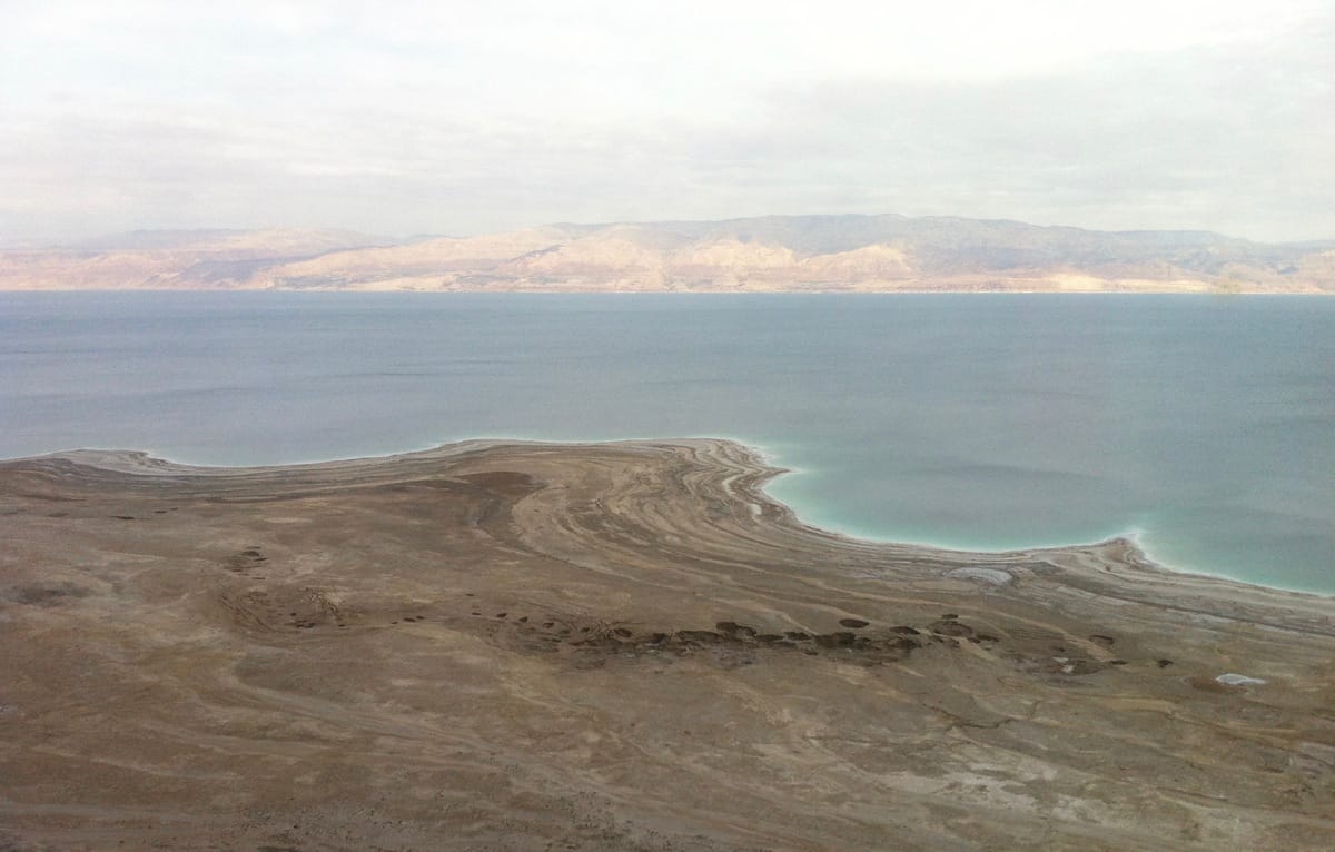
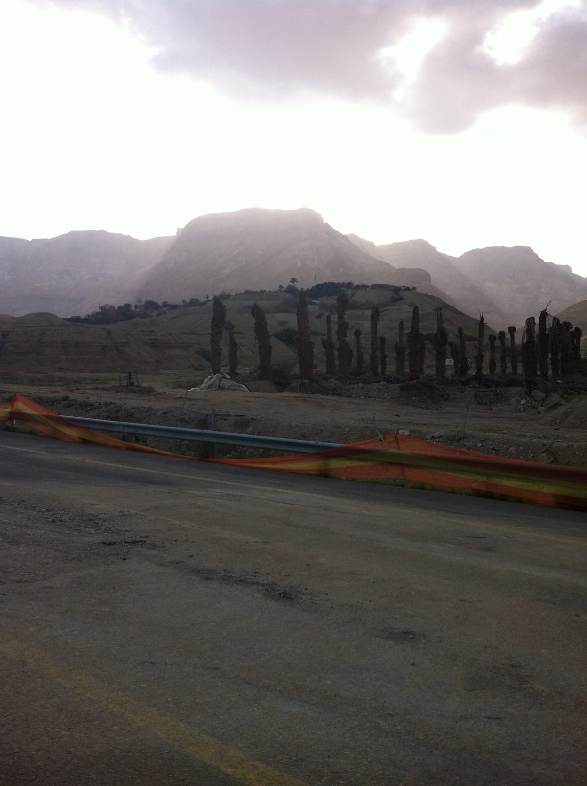
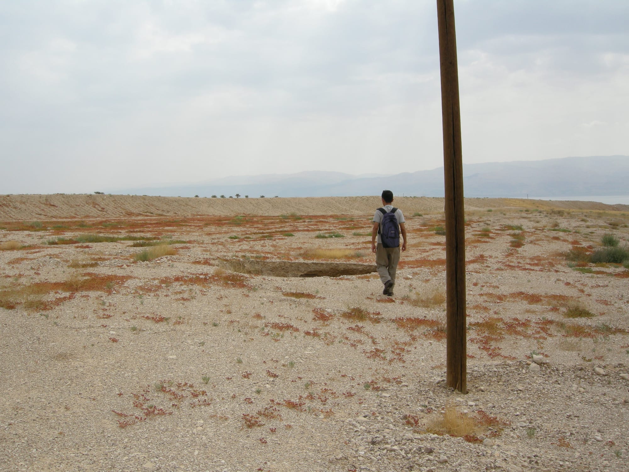
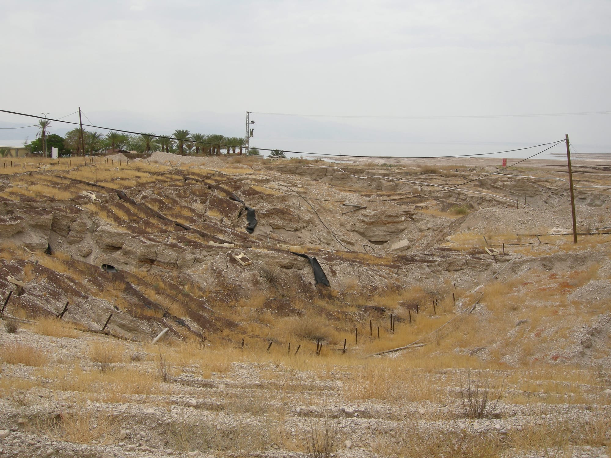
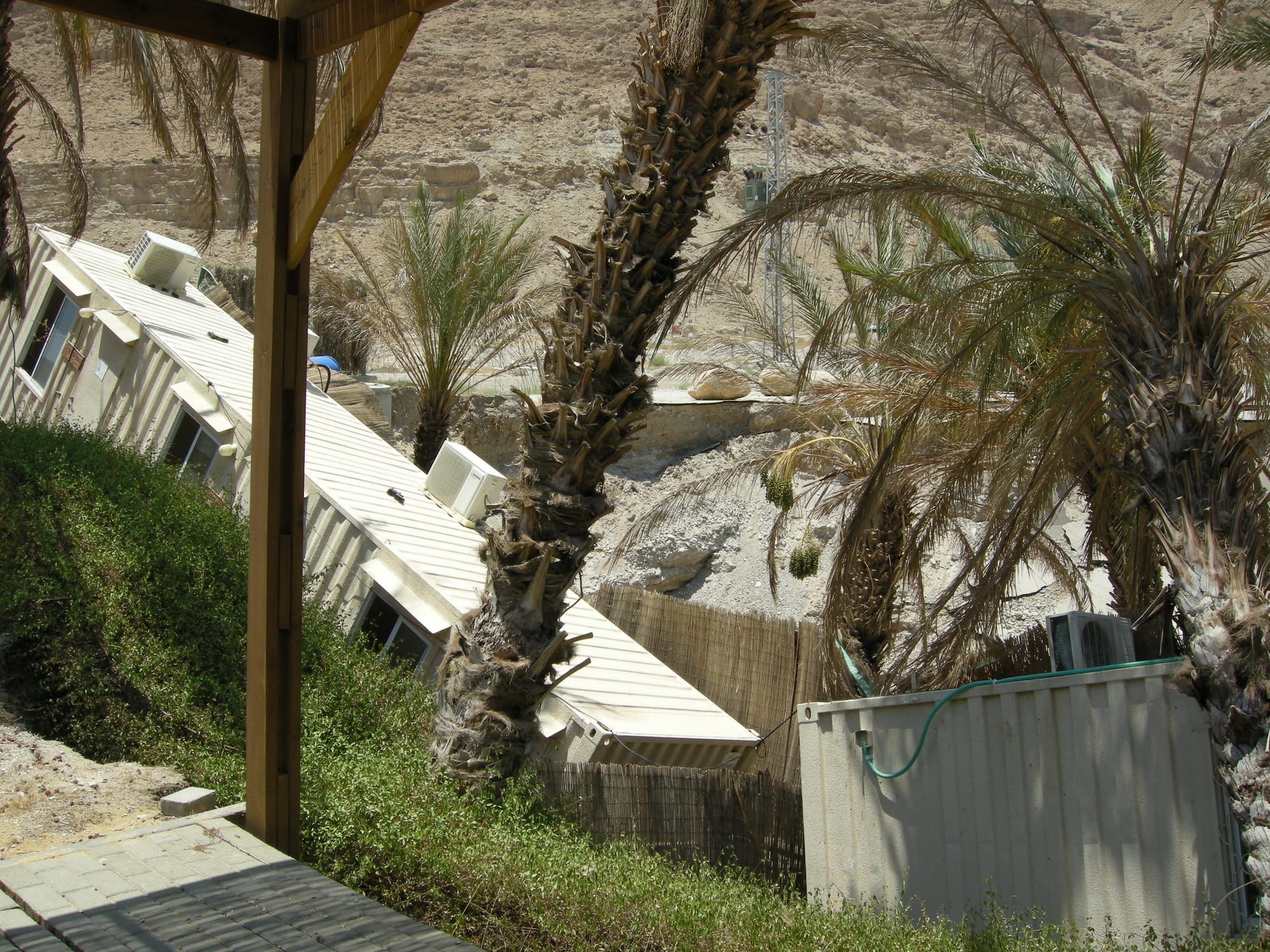
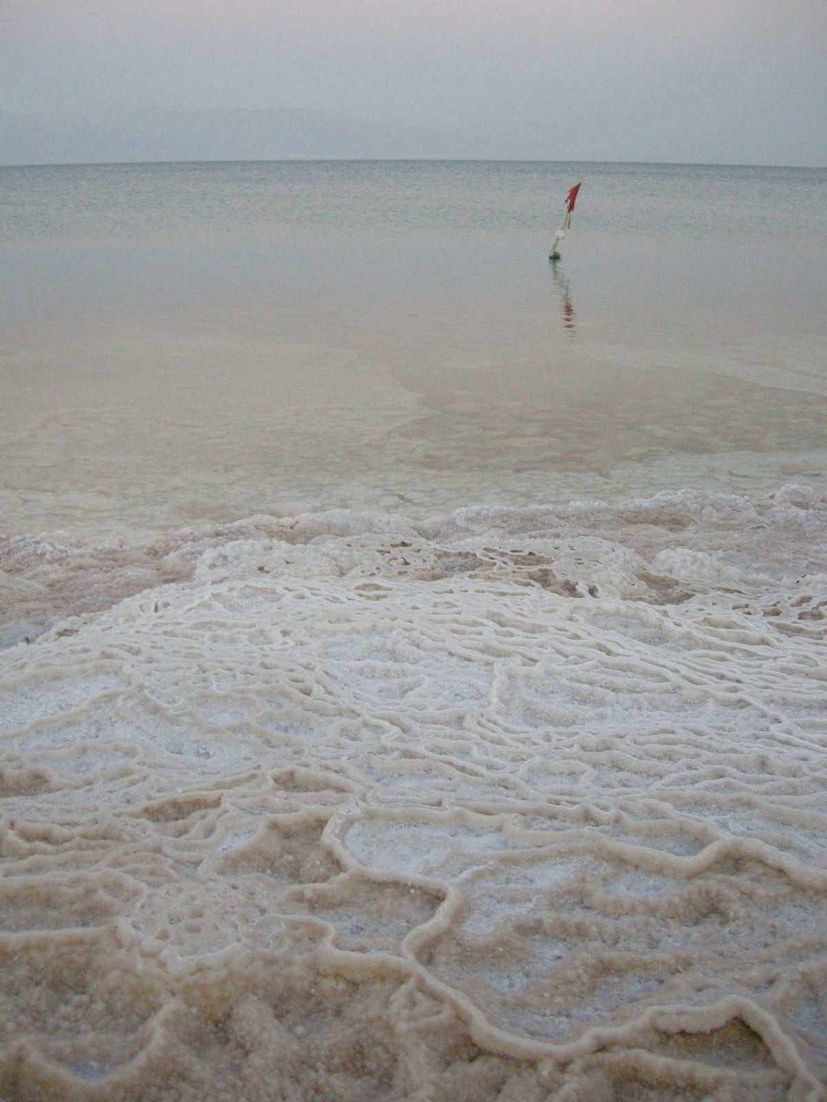
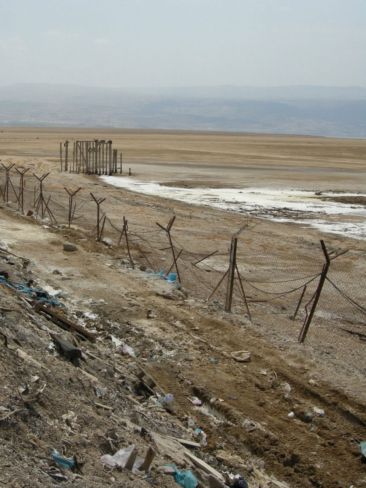
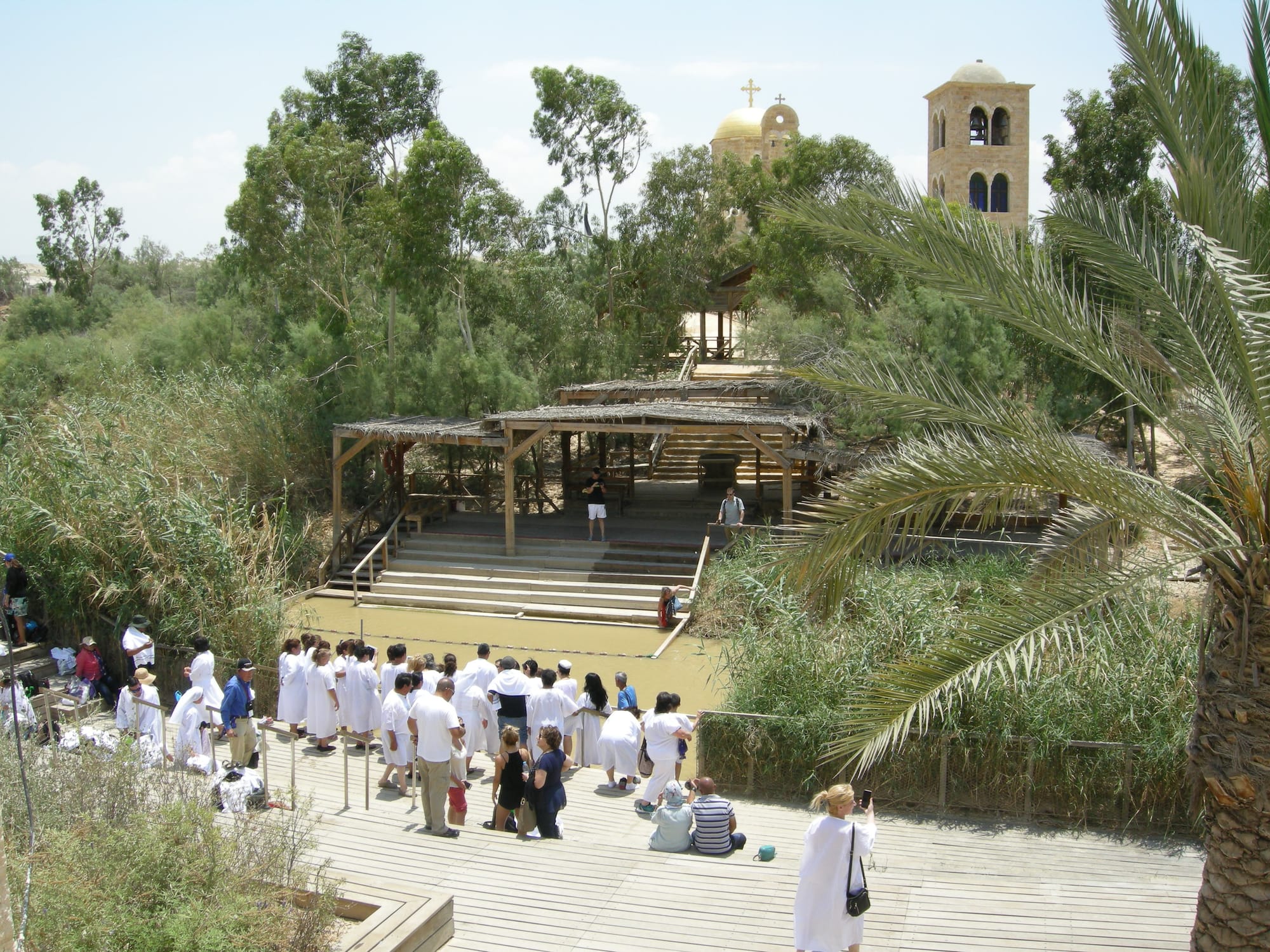
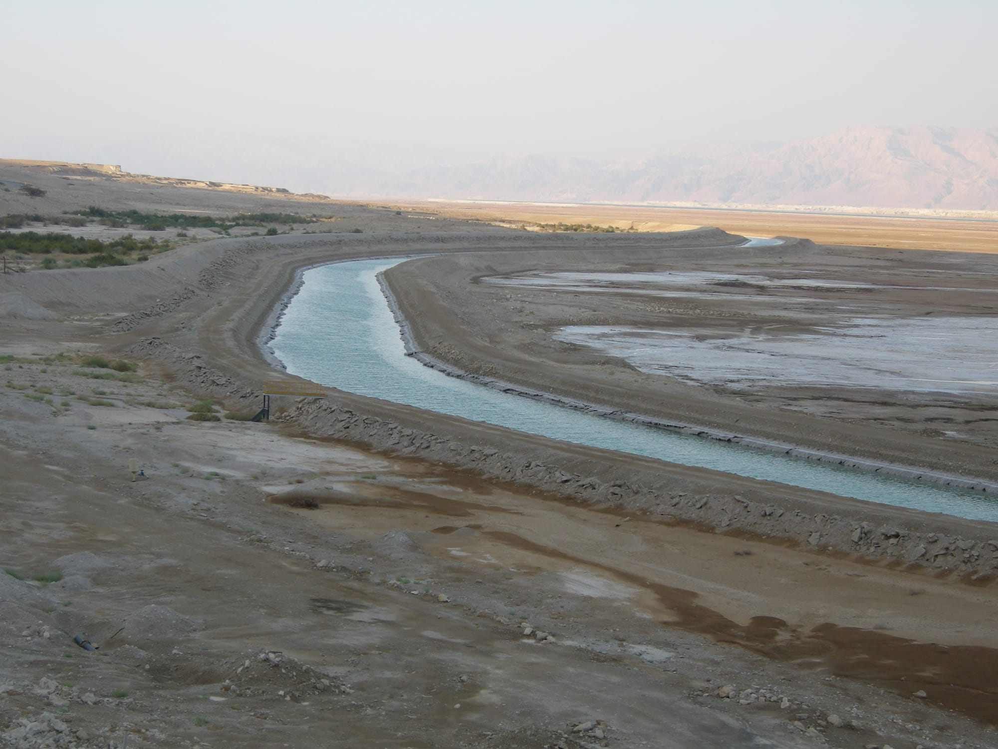
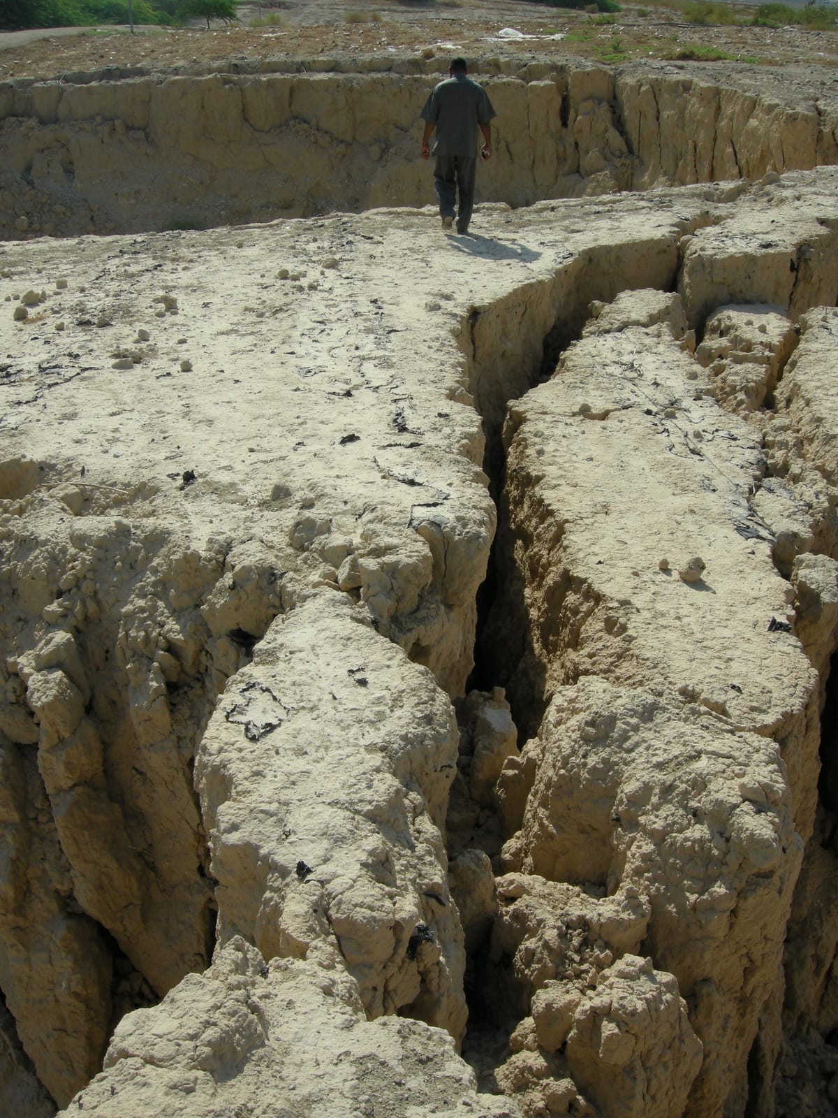
Terra Infirma – Dead Sea Sinkholes – A Photo Essay," Middle East Report 296 (Fall 2020).

For 50 years, MERIP has published critical analysis of Middle Eastern politics, history, and social justice not available in other publications. Our articles have debunked pernicious myths, exposed the human costs of war and conflict, and highlighted the suppression of basic human rights. After many years behind a paywall, our content is now open-access and free to anyone, anywhere in the world. Your donation ensures that MERIP can continue to remain an invaluable resource for everyone.

Donate
Cancel

Pin It on Pinterest

Share This